🚚 Free Worldwide Shipping on All Orders!Shop Now
1 / 6
+1
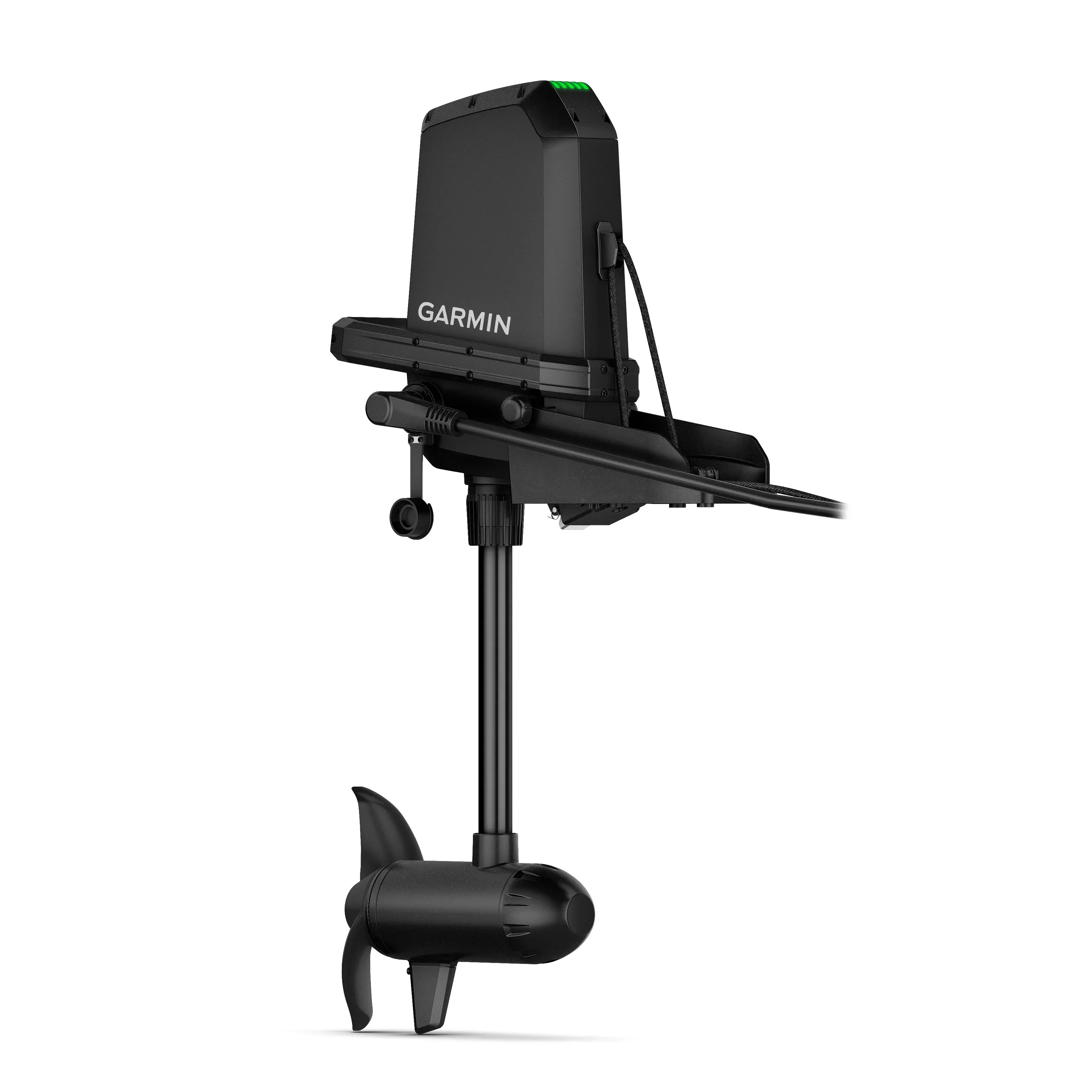
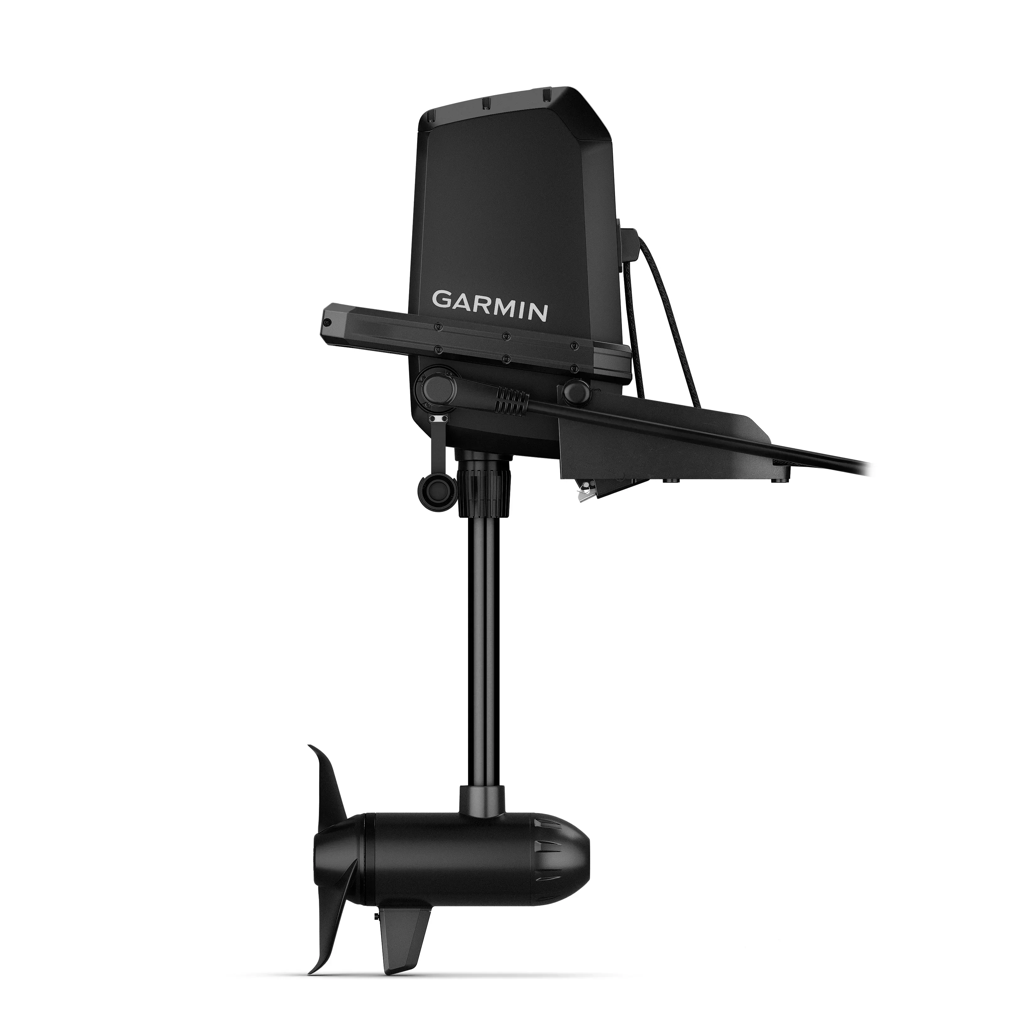
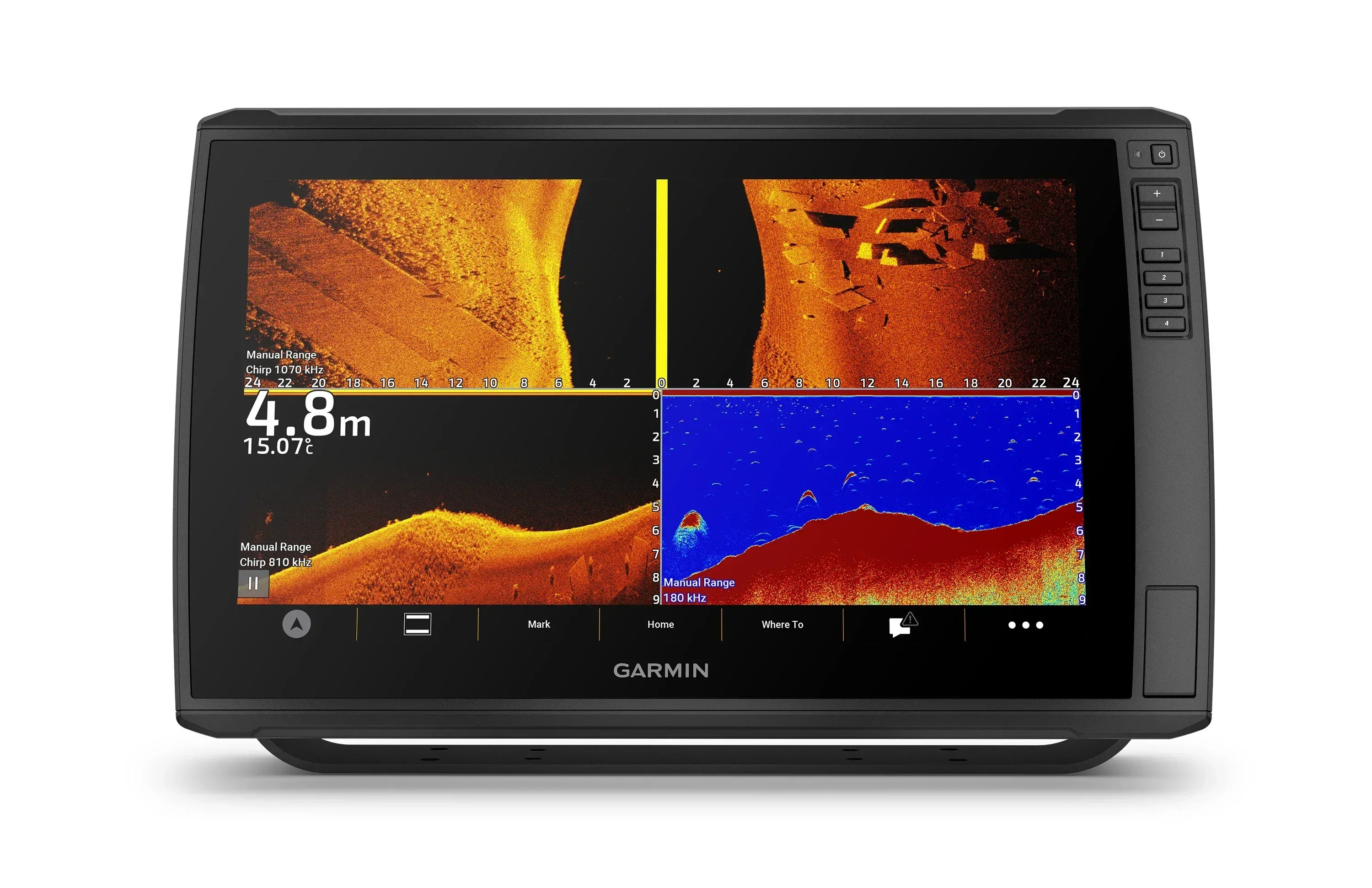
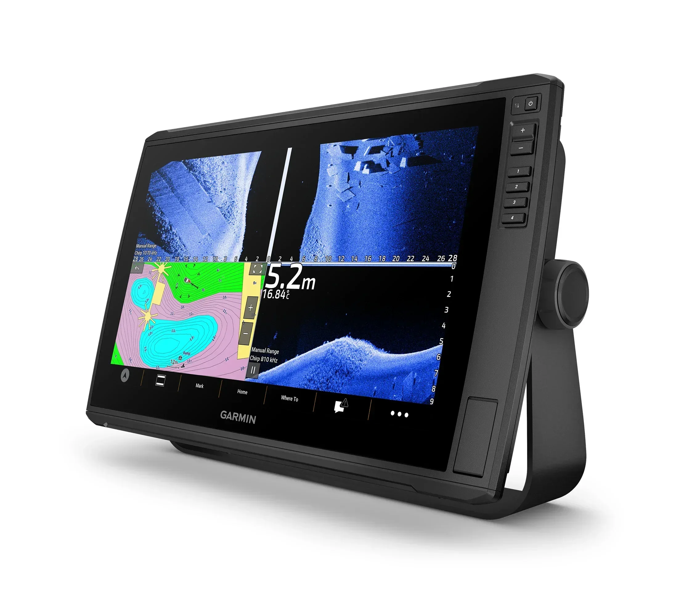
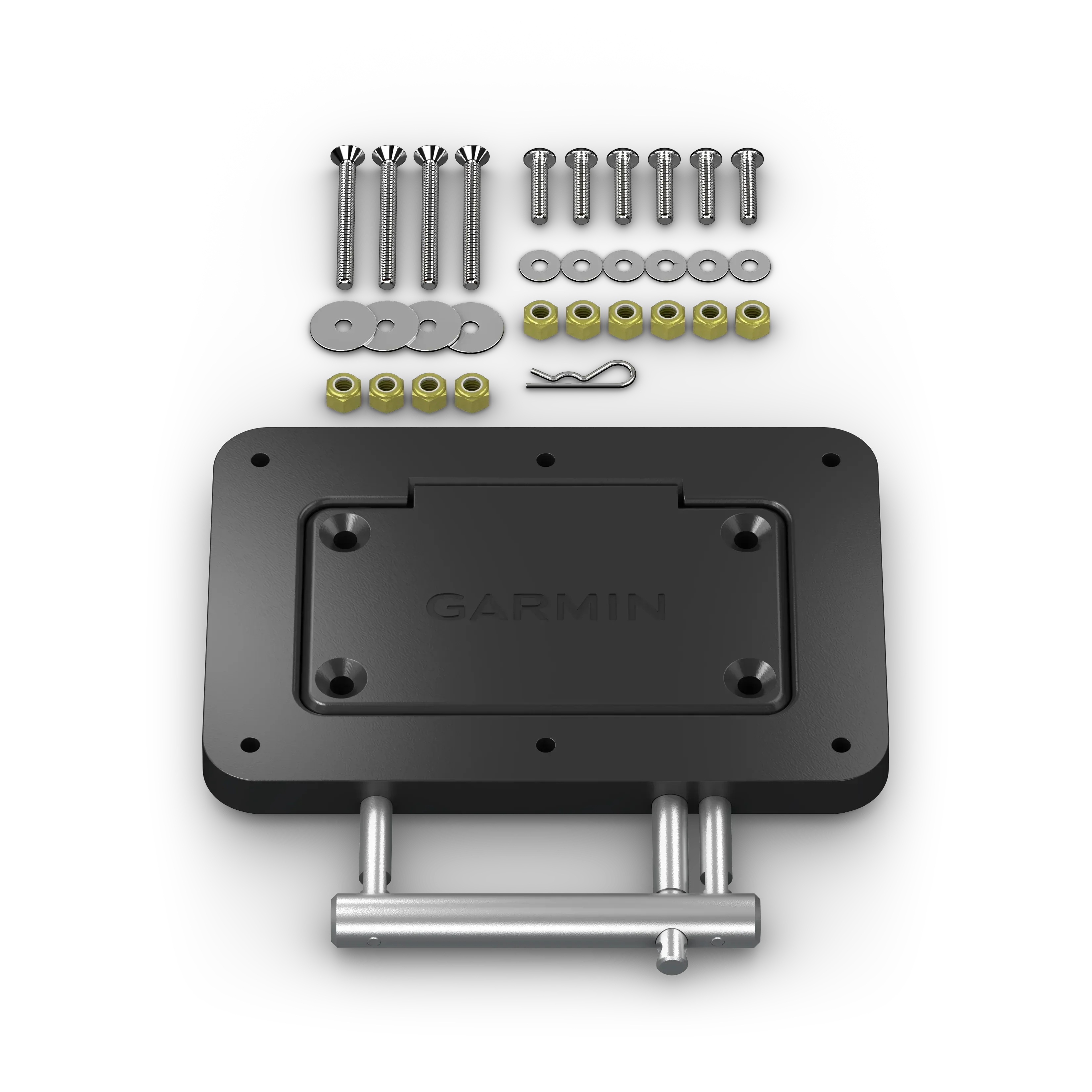
Garmin Navionics Vision+ EU079R Sweden Southeast Charts
The latest Garmin Navionics Vision+ premium charts provide an
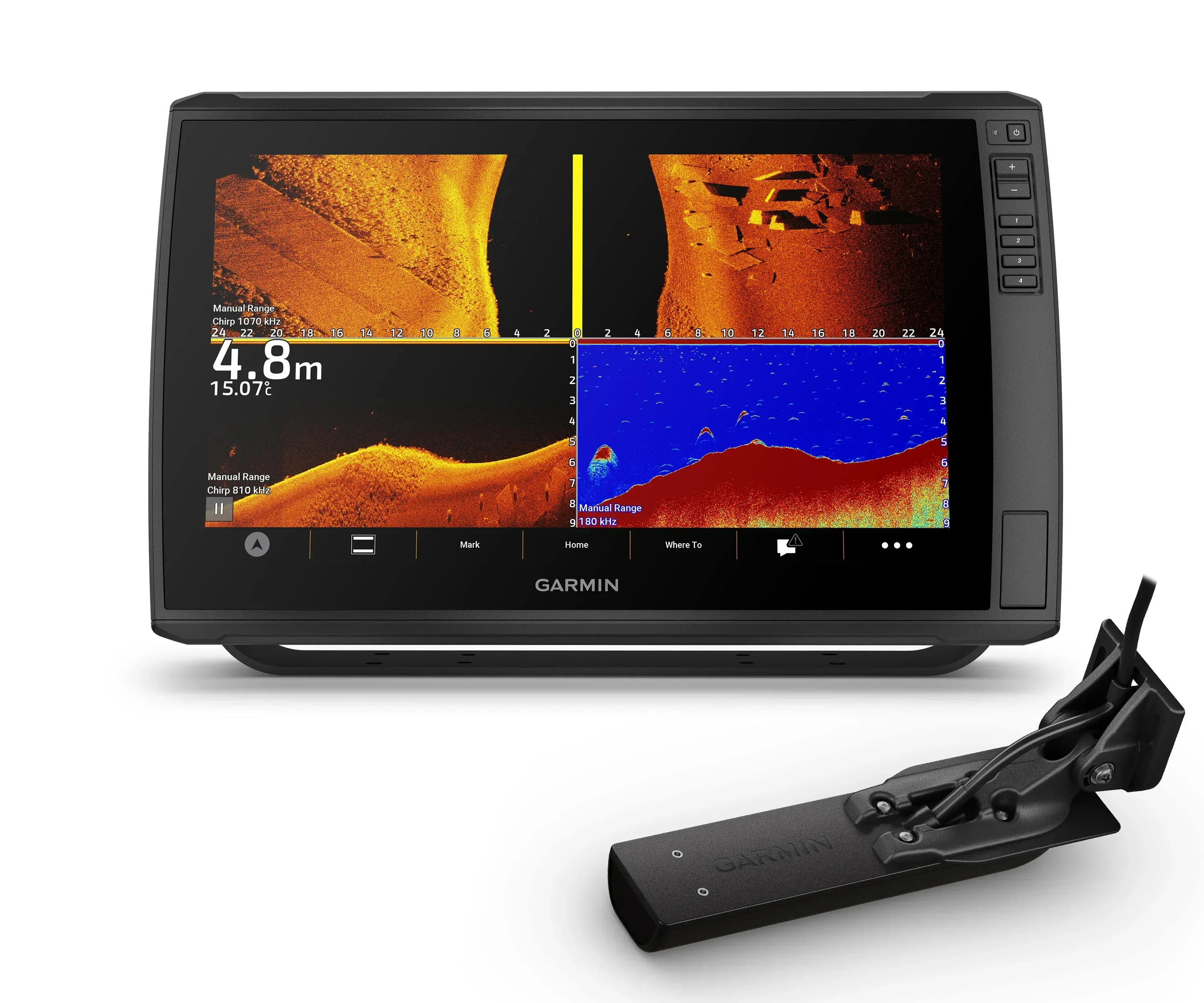
all-in-one mapping solutions , offers high-quality, detail-rich mapping of coastal features, lakes, rivers and more. Features include depth range shading, 3D views, satellite images, advanced Auto Guidance+ TM, and constantly updated maps using the ActiveCaptain solution. You will always have the most up-to-date mapping for your time on the water. Combining the best of Garmin and Navionics automatic routing features, built-in Auto Guidance+ technology gives you a suggested dock-to-dock path to follow through channels, inlets, marina entrances and more. Different shading options are handy for navigating in shallow waters and finding the best depth range at fishing spots.
• Integrated Garmin and Navionics content with a new, redesigned interface that features an updated color palette and Navionics cartography-style appearance. Exceptional coverage, clarity, and details.
• The one-year included subscription gives you access to daily chart updates via the ActiveCaptain smart device app
• Advanced Auto Guidance+ TM technology. Auto Guidance+ offers faster route calculation and more detailed views compared to the traditional Auto Guidance technology. Auto Guidance+ is for planning purposes only and does not replace safe navigation operations
• Up to 1' contours provide a clear depiction of bottom structure, for improved fishing and navigation. • High-resolution relief shading that combines color and shadow to give you an easy-to-interpret, clearer view of bottom structure than contour lines alone.
• High-resolution satellite imagery overlaid with navigational charts to give you a realistic view of surroundings. • Aerial photography of the area’s ports, bridges, docks, navigational landmarks and more to give you a better sense of surroundings above water.
• Unique 3D views, such as Mariner Eye and FishEye, to provide additional perspective both above and below the water.
• Select from up to 10 color-shaded depth range options and view your designated target depths at a glance.
• Shallow water shading is useful for navigation, highlighting depths to aid in navigation.
• Community-sourced ActiveCaptain content provides useful POIs, recommendations, and advice from boaters with firsthand experience of the local environment.
• Use of Garmin Navionics+ or Garmin Navionics Vision+ requires a compatible chart plotter with the January 2022 software update, which is included on the chart cards. You can also download the update through the ActiveCaptain application or the Garmin Express™ software
Check compatibility here https://www.garmin.com/en-US/marine/chartplotter-compatibility/
The latest Garmin Navionics Vision+ premium charts provide an
all-in-one mapping solutions , offers high-quality, detail-rich mapping of coastal features, lakes, rivers and more. Features include depth range shading, 3D views, satellite images, advanced Auto Guidance+ TM, and constantly updated maps using the ActiveCaptain solution. You will always have the most up-to-date mapping for your time on the water. Combining the best of Garmin and Navionics automatic routing features, built-in Auto Guidance+ technology gives you a suggested dock-to-dock path to follow through channels, inlets, marina entrances and more. Different shading options are handy for navigating in shallow waters and finding the best depth range at fishing spots.
• Integrated Garmin and Navionics content with a new, redesigned interface that features an updated color palette and Navionics cartography-style appearance. Exceptional coverage, clarity, and details.
• The one-year included subscription gives you access to daily chart updates via the ActiveCaptain smart device app
• Advanced Auto Guidance+ TM technology. Auto Guidance+ offers faster route calculation and more detailed views compared to the traditional Auto Guidance technology. Auto Guidance+ is for planning purposes only and does not replace safe navigation operations
• Up to 1' contours provide a clear depiction of bottom structure, for improved fishing and navigation. • High-resolution relief shading that combines color and shadow to give you an easy-to-interpret, clearer view of bottom structure than contour lines alone.
• High-resolution satellite imagery overlaid with navigational charts to give you a realistic view of surroundings. • Aerial photography of the area’s ports, bridges, docks, navigational landmarks and more to give you a better sense of surroundings above water.
• Unique 3D views, such as Mariner Eye and FishEye, to provide additional perspective both above and below the water.
• Select from up to 10 color-shaded depth range options and view your designated target depths at a glance.
• Shallow water shading is useful for navigation, highlighting depths to aid in navigation.
• Community-sourced ActiveCaptain content provides useful POIs, recommendations, and advice from boaters with firsthand experience of the local environment.
• Use of Garmin Navionics+ or Garmin Navionics Vision+ requires a compatible chart plotter with the January 2022 software update, which is included on the chart cards. You can also download the update through the ActiveCaptain application or the Garmin Express™ software
Check compatibility here https://www.garmin.com/en-US/marine/chartplotter-compatibility/
• Integrated Garmin and Navionics content with a new, redesigned interface that features an updated color palette and Navionics cartography-style appearance. Exceptional coverage, clarity, and details.
• The one-year included subscription gives you access to daily chart updates via the ActiveCaptain smart device app
• Advanced Auto Guidance+ TM technology. Auto Guidance+ offers faster route calculation and more detailed views compared to the traditional Auto Guidance technology. Auto Guidance+ is for planning purposes only and does not replace safe navigation operations
• Up to 1' contours provide a clear depiction of bottom structure, for improved fishing and navigation. • High-resolution relief shading that combines color and shadow to give you an easy-to-interpret, clearer view of bottom structure than contour lines alone.
• High-resolution satellite imagery overlaid with navigational charts to give you a realistic view of surroundings. • Aerial photography of the area’s ports, bridges, docks, navigational landmarks and more to give you a better sense of surroundings above water.
• Unique 3D views, such as Mariner Eye and FishEye, to provide additional perspective both above and below the water.
• Select from up to 10 color-shaded depth range options and view your designated target depths at a glance.
• Shallow water shading is useful for navigation, highlighting depths to aid in navigation.
• Community-sourced ActiveCaptain content provides useful POIs, recommendations, and advice from boaters with firsthand experience of the local environment.
• Use of Garmin Navionics+ or Garmin Navionics Vision+ requires a compatible chart plotter with the January 2022 software update, which is included on the chart cards. You can also download the update through the ActiveCaptain application or the Garmin Express™ software
Check compatibility here https://www.garmin.com/en-US/marine/chartplotter-compatibility/
$82.45
Original: $235.56
-65%Garmin Navionics Vision+ EU079R Sweden Southeast Charts—
$235.56
$82.45Description
The latest Garmin Navionics Vision+ premium charts provide an
all-in-one mapping solutions , offers high-quality, detail-rich mapping of coastal features, lakes, rivers and more. Features include depth range shading, 3D views, satellite images, advanced Auto Guidance+ TM, and constantly updated maps using the ActiveCaptain solution. You will always have the most up-to-date mapping for your time on the water. Combining the best of Garmin and Navionics automatic routing features, built-in Auto Guidance+ technology gives you a suggested dock-to-dock path to follow through channels, inlets, marina entrances and more. Different shading options are handy for navigating in shallow waters and finding the best depth range at fishing spots.
• Integrated Garmin and Navionics content with a new, redesigned interface that features an updated color palette and Navionics cartography-style appearance. Exceptional coverage, clarity, and details.
• The one-year included subscription gives you access to daily chart updates via the ActiveCaptain smart device app
• Advanced Auto Guidance+ TM technology. Auto Guidance+ offers faster route calculation and more detailed views compared to the traditional Auto Guidance technology. Auto Guidance+ is for planning purposes only and does not replace safe navigation operations
• Up to 1' contours provide a clear depiction of bottom structure, for improved fishing and navigation. • High-resolution relief shading that combines color and shadow to give you an easy-to-interpret, clearer view of bottom structure than contour lines alone.
• High-resolution satellite imagery overlaid with navigational charts to give you a realistic view of surroundings. • Aerial photography of the area’s ports, bridges, docks, navigational landmarks and more to give you a better sense of surroundings above water.
• Unique 3D views, such as Mariner Eye and FishEye, to provide additional perspective both above and below the water.
• Select from up to 10 color-shaded depth range options and view your designated target depths at a glance.
• Shallow water shading is useful for navigation, highlighting depths to aid in navigation.
• Community-sourced ActiveCaptain content provides useful POIs, recommendations, and advice from boaters with firsthand experience of the local environment.
• Use of Garmin Navionics+ or Garmin Navionics Vision+ requires a compatible chart plotter with the January 2022 software update, which is included on the chart cards. You can also download the update through the ActiveCaptain application or the Garmin Express™ software
Check compatibility here https://www.garmin.com/en-US/marine/chartplotter-compatibility/
• Integrated Garmin and Navionics content with a new, redesigned interface that features an updated color palette and Navionics cartography-style appearance. Exceptional coverage, clarity, and details.
• The one-year included subscription gives you access to daily chart updates via the ActiveCaptain smart device app
• Advanced Auto Guidance+ TM technology. Auto Guidance+ offers faster route calculation and more detailed views compared to the traditional Auto Guidance technology. Auto Guidance+ is for planning purposes only and does not replace safe navigation operations
• Up to 1' contours provide a clear depiction of bottom structure, for improved fishing and navigation. • High-resolution relief shading that combines color and shadow to give you an easy-to-interpret, clearer view of bottom structure than contour lines alone.
• High-resolution satellite imagery overlaid with navigational charts to give you a realistic view of surroundings. • Aerial photography of the area’s ports, bridges, docks, navigational landmarks and more to give you a better sense of surroundings above water.
• Unique 3D views, such as Mariner Eye and FishEye, to provide additional perspective both above and below the water.
• Select from up to 10 color-shaded depth range options and view your designated target depths at a glance.
• Shallow water shading is useful for navigation, highlighting depths to aid in navigation.
• Community-sourced ActiveCaptain content provides useful POIs, recommendations, and advice from boaters with firsthand experience of the local environment.
• Use of Garmin Navionics+ or Garmin Navionics Vision+ requires a compatible chart plotter with the January 2022 software update, which is included on the chart cards. You can also download the update through the ActiveCaptain application or the Garmin Express™ software
Check compatibility here https://www.garmin.com/en-US/marine/chartplotter-compatibility/